Limpopo River Picture & Map

The border between Zimbabwe and South Africa is along the Limpopo River. The border stretches for about 230 km. The borders was set up sometime between 1881 and 1884. At the border crossing South Africa’s N1 highway links with Zimbabwe’s A6 highway at the Alfred Beit Road Bridge.
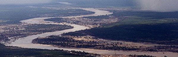
limpopo river

river limpopo


There is also a railway line linking Pretoria with Rutenga and Bulawayo in Zimbabwe.

Limpopo river zimbabwe south africa photo and map

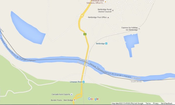
limpopo river border map

Copy Protected by Chetan's WP-Copyprotect.
Share This

We value your privacy

In order to run a successful website, we and certain third parties are setting cookies and accessing and storing information on your device for various purposes. Various third parties are also collecting data to show you personalized content and ads. Some third parties require your consent to collect data to serve you personalized content and ads.