
Geographical location of Zimbabwe on Africa & world maps
Zimbabwe is a landlocked country located in Southern Africa. It is about 2 times the size of England. The country shares its borders with Zambia, Botswana, South Africa, Mozambique and Namibia.
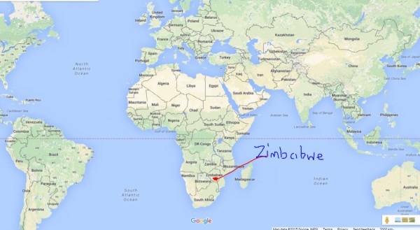
Zimbabwe southern africa location on map
Visitors can actually drive to Zimbabwe from the countries mentioned above or take a 50 minute flight from any of these locations.
Zimbabwe is surrounded by some of Africa’s best landmarks on its borders. These are the Eastern Highlands along the border with Mozambique.
Lake Kariba and Zambezi River mark the western border with Zambia. Limpopo River is on the Southern border with South Africa.